
Sandusky Neighbor Records
No City or County source located in the research publishes a citywide street-by-street roster of people. For a Sandusky block question, the defensible public-record trail is narrower: locate a parcel, identify adjacent parcels on the map, capture only the fields shown, and use the Auditor and Recorder for a property or recorded-document question. Historical directory material can add a dated household layer. It cannot turn a block into a current resident list.
| Block source | Evidence it can provide | Access boundary |
|---|---|---|
| Erie County Parcel Viewer | Parcel geometry, selected location, PIN, legal description, and configured transfer fields | Its extent is not a neighborhood boundary or a presence claim. |
| Erie County Auditor Property Search | Tax-year property identity by location, owner name, or property number | Assessment data does not list all people at an address. |
| Erie County Recorder | Recorded transfer and instrument lead | Recorded parties are not a full title conclusion or current-location proof. |
| Sandusky Library street census | Printed household notation at addresses in the 1915 volume | It is a historical source for one documented year. |
| City and county jurisdiction records | Municipal or township context for a precise address | A mailing ZIP does not decide jurisdiction. |
The Erie County property-tax explanation provides context for the tax side of a parcel record. It is useful for reading the property layer without treating a tax record as a current-neighbor list.

Tax and parcel information belongs beside a map selection and a search date. It may support a property question, while the displayed record fields set the limit of what can be said about a block.
Sandusky Adjacent Parcel Method
The Parcel Viewer is the geographic starting point for an adjacent-parcel check. Its published parcel-source search accepts a PIN, dashless PIN, or owner name, with partial matches capped at six suggestions or results. Its geocoder accepts an address, place, name, or parcel number. The configuration also exposes Select, an Attribute Table, Layer List, Legend, Draw, Measurement, Print, and Share controls. No verified radius or buffer result workflow was found, so the adjacent-parcel method should use the controls the viewer actually documents.
The map's configured popup distinguishes a physical address from tax-mailing city, state, and ZIP fields. It can show a PIN, legal description, deed volume and page, sale date and amount, use code, acreage, and values. Record only what the selected popup presents. A live parcel service did not return a parcel during the research inspection, so configured popup labels are not person-specific results.
The Erie County Recorder Fraud Protection screen is a separate name-monitoring service for recordings. It accepts name variations and related options, but it is an alert tool, not proof of title or a tool for mapping a block.
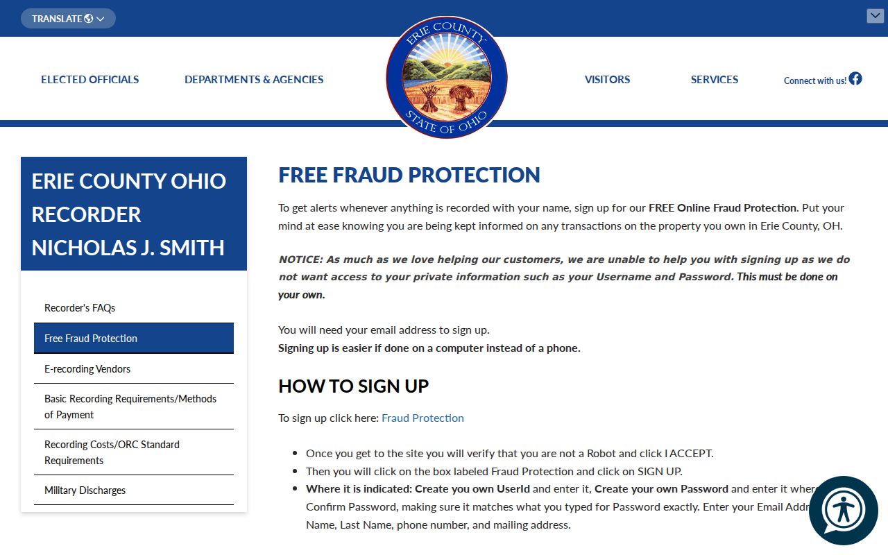
Use a fraud-alert notice as a prompt to review the related recording with the Recorder. Do not substitute it for parcel matching, a recorded document, or an official correction process.
Map a Sandusky Block
For an immediate-block question, move from one confirmed address to the touching parcels around it. The process is intentionally small in scope. It yields an adjacent-parcel view, not a roster of people who live nearby. Save the map date and the fields displayed for every selection so the result can be checked later against the named custodian.
- Find the subject address or parcel and select its polygon in the Erie County Parcel Viewer.
- Pan and zoom around that boundary, then use Select with the viewer's partial extent mode.
- Use the Attribute Table filtered to the current map extent; its published page sizes are 25, 50, 100, and 1000.
- Open each selected parcel popup and retain its PIN, physical location, legal description, and only the available record fields.
- Use the Auditor or Recorder only after the parcel, legal description, deed clue, and dates point to the same property.
For a longer named-street record chain, use the Sandusky Street Directory. That address workflow follows a property record and dated street sources; it should not be compressed into a claim about the people on an entire block.
Sandusky Parcel Field Limits
A physical address and a tax-mailing field are separate parts of the Parcel Viewer schema. The configured popup lists house number, unit, street name and type, city, state, and ZIP for the property location. It separately lists tax-mailing city, state, and ZIP. That distinction matters when researching a Sandusky block: neither field can be used to say who is physically present at a parcel.
- PIN
- A parcel identification number used to connect a mapped parcel with County property records.
- Legal description
- The land description used in recorded property documents; it can bridge a map and a deed.
- Situs address
- The physical property location, which is distinct from tax-mailing components.
- Deed volume and page
- A recording reference that can guide a focused Recorder search.
ORC 319.28 supplies the property-tax-list context and some protection provisions. ORC 317.082 also limits personal information in recorded documents. A careful block note identifies the record field, source, and date, rather than filling missing data from assumptions.
Sandusky Neighbor Roster Gap
No official citywide neighborhood-association or homeowners-association directory was located for Sandusky. That absence is a finding, not an invitation to invent a boundary, contact, membership list, or neighborhood label. The sources below provide only the limited historical or public-body context that was actually verified.
| Source considered | Verified finding | Proper use |
|---|---|---|
| Official neighborhood or association directory | No verified citywide roster was located. | Do not present a neighborhood contact list. |
| 1915 Sandusky directory | Lists officers of organizations, religious bodies, companies, and civic offices for that year. | Use only as dated historical context. |
| City Landmark Commission | Documents a public body. | It is not a household or membership directory. |
| Erie County Historical Society | Provides marker and site-history context. | Use for place history, not a current roster. |
The City of Sandusky public-records request information is the proper city route when a precisely described municipal record may exist. A request should identify the record and date range; Ohio law does not require an office to create a new community list.
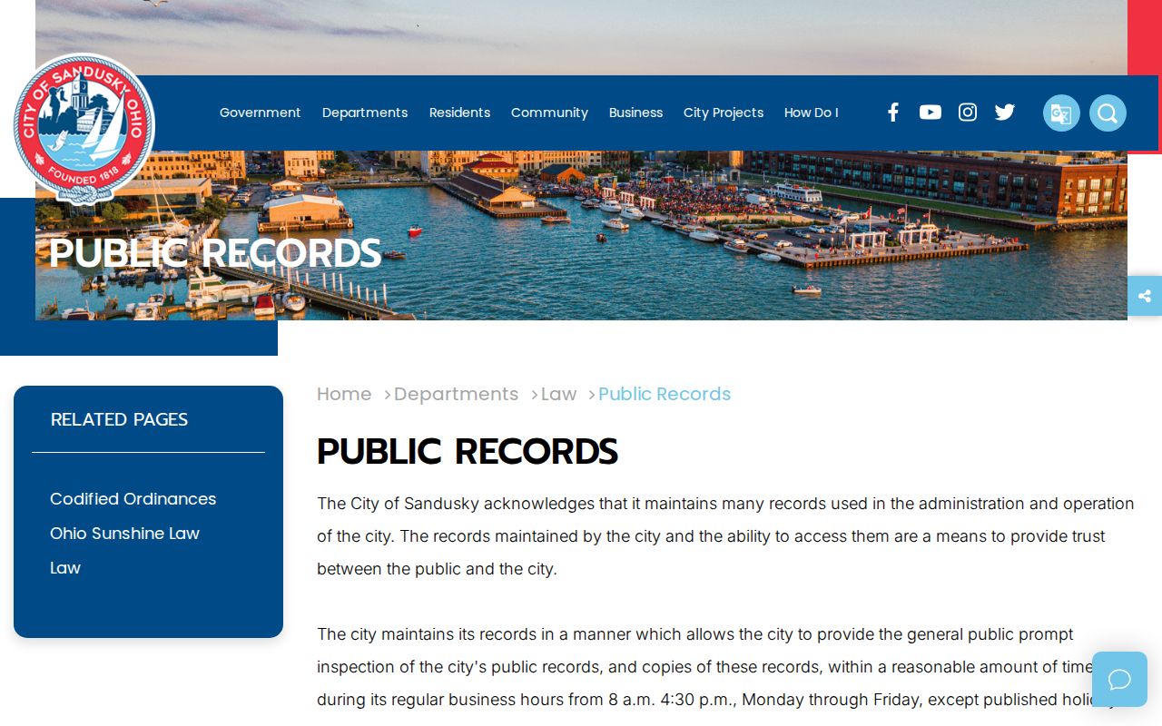
A focused request can seek an identified public record held by the City. It cannot convert historical organization material or a parcel extent into a verified neighborhood roster.
Sandusky Neighbor Source Comparison
Official property and government records identify their custodian, record type, and access limits. A commercial people-finder category may combine information from other sources, but it is not the Erie County Auditor, Recorder, court, or Board of Elections. Where an online publisher holds a profile, its own posted privacy or contact procedure is the route for a publisher-level concern; that action does not change the underlying custodian record.
| Source category | Useful strength | Limit to keep visible |
|---|---|---|
| Official parcel and Recorder records | Identified County custodian and property or recording context | They do not prove current physical presence. |
| Ohio voter lookup | Individual state route with named fields and statutory limits | It is not a block roster and protected registrations apply. |
| Historical Library sources | Dated printed and archival context | They do not establish a modern connection. |
| Commercial neighbor category | May offer an additional lead to check | Accuracy, date, source, and correction process must be confirmed independently. |
Note: For a parcel or recording question, return to the named Erie County custodian before relying on a combined online profile.
Sandusky Block History
Historical records give a block a different kind of context. The 1915 Sandusky directory's street census occupies pages 245 through 415 and lists streets alphabetically with household notation at printed addresses. Italics identify an owner notation; the punctuation and age marks must be preserved as printed. It is a rich local source for one year, not a present-day block directory.
Sandusky's 1818 plat centered on Washington Square helps interpret older street references. Water Street was formerly the shoreline, and later fill, railroad work, and Shoreline Drive changed the waterfront setting. The 1870 bird's-eye view and the 1905 Sanborn set, republished in 1955, help reconcile dated maps with a parcel screen. They do not supply a universal former-to-current address conversion.
Venice Village was platted in 1816 and annexed into Sandusky in 1963. A historic source may therefore use Venice where a current civic address reads differently. Keep the dated map, directory, or official record with any reconciliation.
Sandusky Voter Record Limits
Ohio Voter Lookup requires a first name, last name, and county, with a Street Name selector that can refine an initial individual match. It does not provide a verified all-address block search. ORC 3503.153 describes the Internet-available elector information, while ORC 3503.13 and address-confidentiality rules limit specific data and registrations.
For a registration correction, precinct question, or official record issue, contact the Erie County Board of Elections. State voter-data snapshots are a separate bulk-data channel, retained for 22 months, with direct request ranges limited to seven days. Those packages do not change the obligation to honor protected addresses and public-record limits.
Sandusky Neighbor Privacy
Privacy limits are part of any adjacent-parcel search. Ohio Safe at Home provides a substitute-address route for eligible participants and gives their voter information special protected status. Shielding Ohio's Protectors is a different address-redaction process for qualifying public-service workers and certain family members. Both require respect for the protection; neither is a prompt to seek the same information elsewhere.
The Ohio Safe at Home program describes the official address-confidentiality route. Enrollment goes through a certified application assistant rather than ordinary online sign-up.
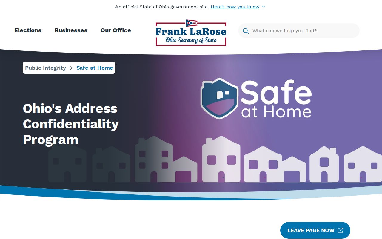
The program's substitute address supports defined official purposes and does not automatically remove every older record. Stop when a record is confidential, sealed, redacted, or ambiguous.
Lawful use. Use Sandusky neighbor records for a lawful property, history, or civic question. Do not use any result to watch, stalk, harass, intimidate, or expose a protected person.
Protected Sandusky Addresses
ORC 149.45 restricts public offices from placing full Social Security numbers online without redaction, encryption, or truncation. It also provides a record-specific process for an individual to seek removal of personal information from an online record through an Attorney General form. The public office must act or explain why it cannot within five business days, but the process does not make all records confidential or erase copies held by independent custodians.
The Ohio personal-information redaction statute is shown below. It works alongside, not in place of, voter, court, vital, vehicle, and recording privacy rules.
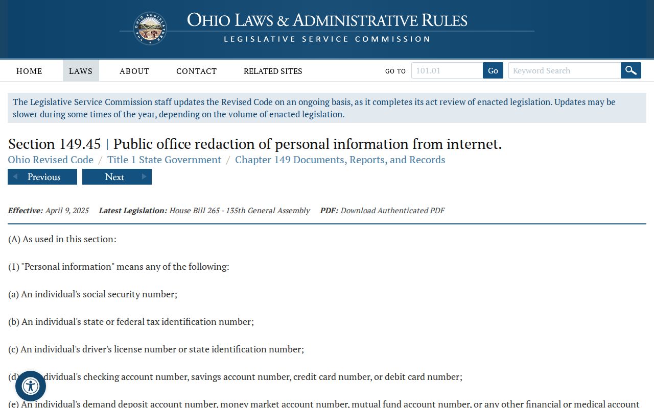
Direct a correction or redaction request to the custodian publishing the identified record. Do not assume that a decision from one office resolves a separate record held by another office.