
Sandusky ZIP Code Directory Coverage
USPS city-state material groups 44870 and 44871 with Sandusky. The verified statement is postal association, not a municipal-boundary map or a claim about every delivery address. The Sandusky Post Office record identifies a facility at 2220 Caldwell Street in 44870-9998. Its retail hours are Monday through Friday from 8:30 a.m. to 5:00 p.m., Saturday from 9:00 a.m. to noon, and closed Sunday. PO Box access is listed daily from 12:01 a.m. to 11:59 p.m.
| Postal identifier | What the official material verifies | Local route | Safe use |
|---|---|---|---|
| 44870 | Sandusky Post Office at 44870-9998; common local mailing identifier | USPS Sandusky Post Office | Principal Sandusky postal ZIP; validate the full address |
| 44871 | USPS city-state material groups it with Sandusky; a historical Postal Explorer item associates it with local postal service | USPS city-state material | Do not assign a delivery type, precise boundary, or citywide coverage |
The research did not verify whether 44871 is street delivery, PO Box only, or a particular boundary. That gap matters. A postal identifier should not be given a wider meaning than the published record supports.
Sandusky ZIP Code Postal Verification
The official USPS ZIP Lookup Tool is the verification route for a complete mailing address. USPS provides address-to-postal-code, city/state-to-postal-code, and postal-code-to-city paths. The tool was access-controlled during the research pass, so its current field labels and required indicators were not captured. That is why a record page should not invent a form layout or promise a particular result screen.
Use a full address when the goal is delivery validation. A partial street, a city name, or an old directory address can require more context. The postal result then belongs with the address record as a mailing fact, not as a substitute for a parcel boundary, title record, or municipal jurisdiction decision.
Review the USPS explanation of ZIP Code basics for the postal system context.
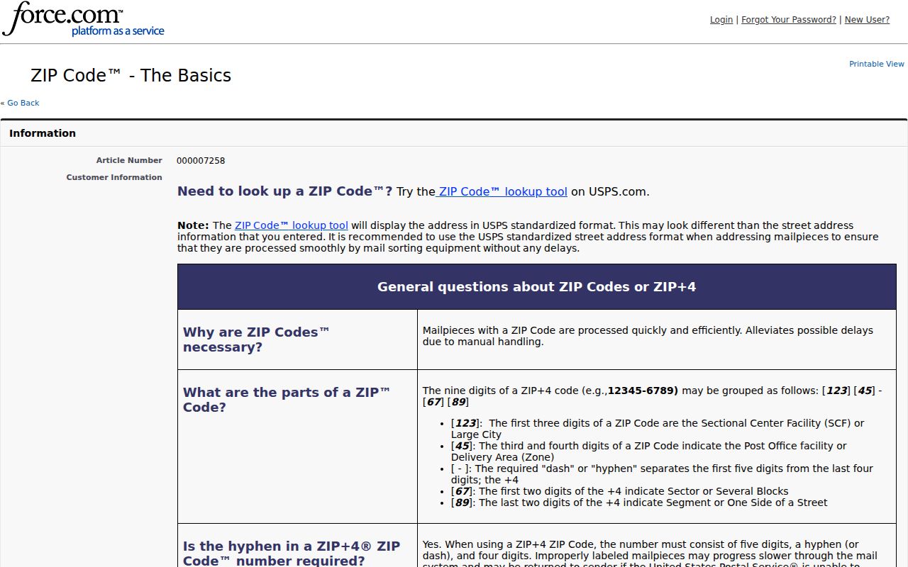
Postal codes can change, so a current USPS check is better than relying on an old label copied from a document or database.
ZIP Codes Are Not Sandusky Lines
USPS postal areas, Census ZIP Code Tabulation Areas, and City boundaries are different kinds of geography. The Census describes ZCTAs as generalized statistical approximations of USPS delivery areas, not USPS delivery boundaries themselves. A ZCTA is useful for Census tabulation. It does not decide whether a parcel lies inside Sandusky, which office has jurisdiction, or whether an address receives mail under a particular postal label.
The Census ZCTA guidance makes that distinction explicit. Census and USPS city-name guidance likewise cautions against treating a postal city name as a legal municipal definition.
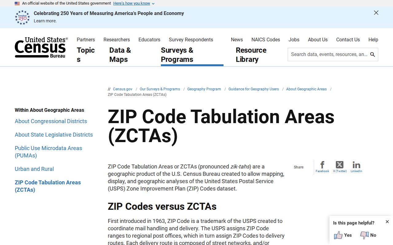
A statistical approximation may help describe an area, but a City or Township conclusion needs the relevant jurisdiction records or mapping.
Sandusky ZIP Code Search Limits
The inspected local systems do not create a verified ZIP-wide resident or property directory. Each has a narrower function. The Auditor uses address, name, or property-number routes. The Parcel Viewer can display a selected parcel's physical postal field. The Recorder indexes recorded documents. The voter tool begins with an individual name and county. This matrix keeps a postal code from becoming a misleading search shortcut.
| Portal or record system | ZIP search verified? | Postal data that may appear | Correct use |
|---|---|---|---|
| Erie County Auditor Property Search | No ZIP field in inspected Name or Location modes | Location Address is the route | Search a known address, not a postal-code-wide list |
| Erie County Parcel Viewer | No published ZIP filter | Selected popup includes physical ZIP and USPS-city context | Validate a selected parcel |
| Recorder Self-Service | Not verified after CAPTCHA | No verified postal-code index field | Use party, document, legal-description, and recording-reference paths |
| City BS&A Building Search | No ZIP field exposed | Address and parcel based | Use a known address or parcel |
| Ohio Voter Lookup | No postal-code start field | Current residence is in the statutory display scope after an individual result | Individual lookup, not ZIP slicing |
The absence of a filter is a useful result. It means a postal-code-only question should be narrowed to a verified full address before it moves into a county or City record system.
Sandusky ZIP Code Research Starts With an Address
Once USPS confirms the mailing form, the record path becomes address based. The Erie County Auditor's Location Search visibly uses Tax Year and Location Address, with Real Estate and Manufactured Home choices. The Parcel Viewer has a geocoding route for an address or place, name, or parcel number. Neither is a broad postal-code list, and neither proves physical presence at the address.
- Confirm the complete mailing address with the USPS tool when the postal question matters.
- Enter the address in the Auditor Location Search and retain the tax year and returned parcel or PIN if available.
- Use the Parcel Viewer to select the mapped parcel and record only fields displayed for it, such as PIN, legal description, physical location, and selected transfer details.
- Use the Recorder only when a recorded party, deed volume and page, legal description, or document reference needs checking.
- Use City or county jurisdiction material when the question is whether the address falls within the City.
After the postal label is narrowed to a street, the Sandusky Street Directory provides the fuller address-to-parcel and recorded-document workflow. It is a different task from postal verification.
Sandusky ZIP Code City Limit Test
A “Sandusky, OH 44870” mailing string can occur in the City or in a different jurisdiction served by the Sandusky post office. The County's township contact page lists Perkins Township at 2610 Columbus Avenue, Sandusky, OH 44870. That concrete example shows why postal city and code do not decide City status. Sandusky is also the Erie County seat, not a place in Sandusky County, so the county route should be Erie County.
For a City-limit question, consult City records, City zoning, or county jurisdiction mapping. The County zoning and jurisdiction material says City and Township jurisdiction should be handled separately and warns that its maps are illustrative while original documents control. For mail, consult USPS. For a parcel, consult the Auditor and GIS viewer. The questions are related, but the answers are not interchangeable.
Address Records After Postal Verification
The Parcel Viewer separates physical location from tax-mailing fields. Its published popup configuration lists house number, unit, street name and type, city, state, and postal field for location. It separately lists tax-mailing city, state, and postal field. That distinction is important: a tax mailing component is not the same thing as a physical address, and neither field should be treated as proof of who is currently present at a property.
The Viewer searches a parcel number or owner name with PIN, dashless PIN, and owner-name matching, and it caps suggestions or results at six. It also offers address/place geocoding, Select, Attribute Table, Layer List, Legend, Bookmarks, Draw, Measurement, Print, and Share controls. Its Attribute Table is configured to filter to current map extent, with page sizes from 25 through 1,000. Those map controls are not a published postal-code filter or a radius result workflow.
For an older address, compare the physical location with a dated directory, historical tax map, survey, or recorded legal description. Keep the dates visible in the research note.
Sandusky ZIP Code History Needs Dates
Postal validation cannot reconcile every historic address. Sandusky's 1818 plat was a rectangular grid centered on Washington Square. The Historical Society explains that Water Street was formerly the shoreline, and later fill, rail construction, and Shoreline Drive altered the waterfront relationship. A directory or historic map can therefore use a spatial description that looks unfamiliar on a current basemap.
The Library of Congress holds a 93-sheet Sandusky Sanborn set dated 1905 and republished in 1955. It can provide building and street context for those map dates. A historic directory may emphasize an address, while a Recorder instrument may emphasize a legal description. Tie them through a dated map, parcel PIN, legal description, or recorded document rather than inventing a universal former-number conversion. No formal citywide historical-number crosswalk or ZIP-boundary map was found.
Postal Terms for Sandusky Searches
These terms keep postal, statistical, and property research from being blended into one unsupported answer.
- ZIP Code
- A USPS postal identifier used to route mail. It is not a City-boundary polygon.
- ZIP+4
- An added four-digit delivery detail used with a base postal code. Verify it with a complete address rather than inferring it from a map.
- ZCTA
- A Census statistical approximation of USPS delivery areas. It is not a USPS delivery boundary.
- Parcel PIN
- A county parcel identifier used to connect a property record, map selection, and sometimes recorded-document research.
- Legal description
- The recorded land description used in instruments and surveys. It can be more stable than an old street description.
For a record the county or City does not publish online, Ohio's Public Records Act, ORC 149.43, remains the written-request framework. A specific address, date range, parcel number, map title, or document reference gives the custodian a clearer request than a broad request organized only by postal code.