
Trace a Sandusky Street Address
The most reliable Sandusky street search is an address-to-parcel workflow, not a citywide list of residents. Start with the Erie County Auditor Location Search, then carry the parcel clues into the map and the recorded-document index. Each source answers a narrower question. The Auditor is the starting point for tax-year parcel identity. The Parcel Viewer supplies map and selected transfer context. The Recorder holds the recorded instruments. The Library's historical material can add a dated printed household entry. None of those sources, alone or together, proves who is physically present now.
- Enter the exact address in the Auditor's Location Search and retain the tax year and any returned property number or PIN.
- Open the Erie County Parcel Viewer. Select the parcel and note its physical-address fields, PIN, legal description, deed volume/page, and sale clues.
- Use the recorded party or deed reference in the Recorder Self-Service search. Pass the CAPTCHA, accept the disclaimer, choose Public Records Search, and enter a party as Last First.
- Match the legal description, parcel context, recording reference, and date before treating two documents as part of one address history.
- For an older household question, compare the dated address with the Library's street-census material, maps, and newspapers rather than treating a current parcel entry as an occupancy list.
That sequence is useful for a Sandusky address inquiry because it leaves a record of what was searched and what each match actually says. Try meaningful spelling variants in the Recorder index. The Recorder describes its index as a catalogue guide, so an index hit points to a document rather than settling a title question.
Sandusky Street Address Fields
The Auditor's public portal is the strongest verified address entry for a Sandusky street search. Its Location mode presents Tax Year and Location Address, followed by Real Estate and Manufactured Home property-type choices and Search or Clear controls. If the address is uncertain, Name mode starts with Tax Year, Name Type, and Name. Number mode uses Tax Year and Property Number. Sales and Custom modes are useful for property research, but their visible controls do not establish a street-wide resident list or a ZIP-wide search.
| Auditor search mode | Visible fields | Best address use |
|---|---|---|
| Location | Tax Year; Location Address; Real Estate or Manufactured Home | Start with a known street address. |
| Name | Tax Year; Name Type; Name; property type | Test an owner-name lead when the address is uncertain. |
| Number | Tax Year; Property Number; property type | Return to a parcel once its number is known. |
| Custom | Tax Year; criteria including Property Number, Owner, Location, Land Use, and Acres | Review a defined property set without claiming a household roster. |
The Auditor property-number search is shown below. A number is a useful bridge when an address varies in punctuation or an old document emphasizes a parcel identifier instead of the current street form.
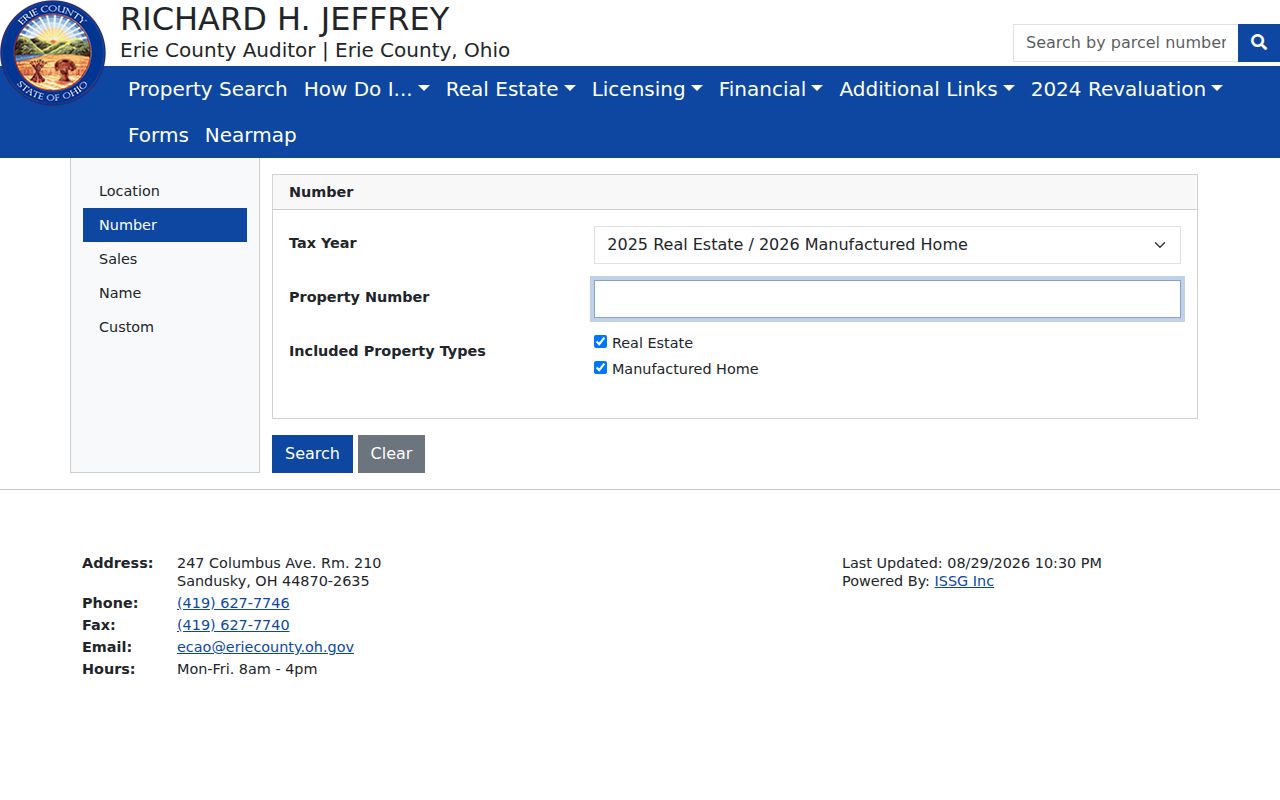
Use a parcel number to reconnect a Sandusky address search to the tax record, then verify any recorded-party or transfer clue against the Recorder instrument.
Sandusky Street Parcel Context
The Parcel Viewer offers a map-based way to check an address after the Auditor search. Its parcel source accepts a parcel number, dashless PIN, or owner name and caps suggestions at six. A second geocoder is labeled “Find address or place, name or parcel number.” Published tools include Select, Attribute Table, Layer List, Legend, Bookmarks, Draw, Measurement, Print, and Share. The current map configuration says the Attribute Table is filtered to the current map extent, with page sizes from 25 through 1,000. It does not promise an all-address browse for an entire street.
- Parcel or PIN
- A county property identifier. It links the tax record and map to a particular tract or property record.
- Situs address
- The physical location fields shown for the property, such as house number, street, city, state, and ZIP.
- Legal description
- The land description carried in property and recorded-document work. It can remain useful when a street label changes.
- Plat
- A recorded map of lots or subdivisions. It is a different item from a simple parcel outline on a web map.
Selected parcel popups are configured to show identity, location, transfer, use, acreage, value, and tax-mailing fields. The published inventory includes deeded owner, deed volume and page, sale date, sale amount, conveyance, and legal description. The live service did not return a parcel during research, so configured fields should not be represented as a result for any particular Sandusky address.
Sandusky Street Records by Address
Address-keyed records form a layered Sandusky address chain, with each custodian preserving a different part of the trail. The table separates what can be captured from what must not be assumed. In particular, a tax or recorded-party field is not evidence that every person at the address is known, and a historical printed entry remains tied to its publication year.
| Address record | Custodian | Useful capture | Access note |
|---|---|---|---|
| Property record | Erie County Auditor | Location Address, tax year, and returned PIN or parcel | Use the public Location Search. |
| Parcel map | Erie County Parcel Viewer | Physical address, PIN, legal description, and selected polygon | Map fields and search controls are publicly configured. |
| Recorded transfer | Erie County Recorder | Recorded party, date, book/page or reference, and image | CAPTCHA and disclaimer precede Public Records Search. |
| Historic street census | Sandusky Library | Year, printed address, and exact notation | Use as dated household context. |
| Building lead | Sandusky Division of Building | Address, parcel, record number, and any accessible permit detail | The public search is security-gated. |
The County Engineer survey route and Auditor historic-map material are the next layer if a lot boundary, subdivision, or address evolution needs proof. Record the map or survey title and date. A parcel shape is not itself a survey.
Sandusky Building Address Leads
The City of Sandusky Division of Building has a public BS&A Building Department search with four visible starting modes: Address, Name, Parcel Number, and Building Department Record Number. In address mode, the visible inputs are Street Address and Street Number, with a numerical range option and an Advanced Address Search control. Those are useful ways to seek a permit or inspection lead connected to a Sandusky street, not proof that every structure or historical permit has a complete online record.
The building search shown here encountered a security-verification screen before results. That limitation matters. The available public source does not establish its full historic coverage, a complete list of advanced fields, result pagination, or image access.
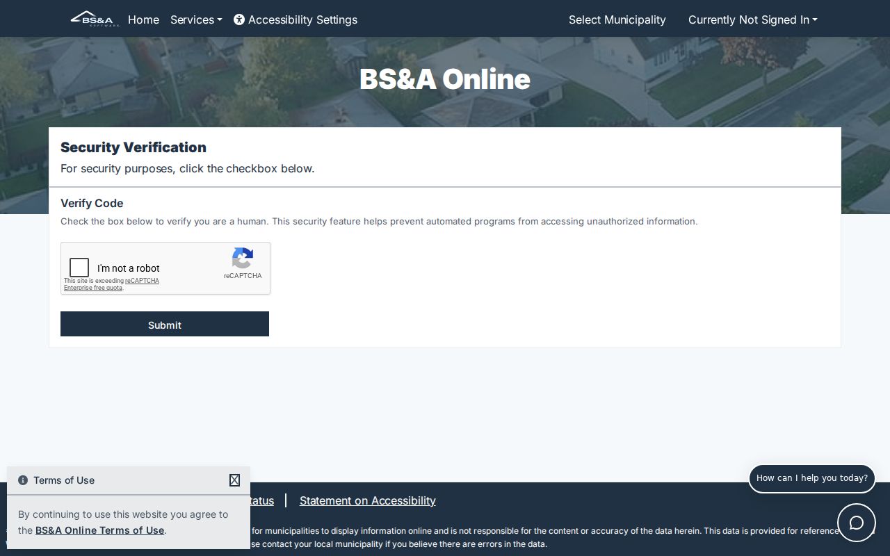
When a building record is accessible, preserve the address, parcel number, record number, and date rather than expanding it into a claim about every household linked to the street.
For an item that will not surface online, the City office can be contacted with a street address or record number. A narrowly described request under Ohio Public Records Act, ORC 149.43 is the documented fallback when the requested record can be identified.
Sandusky Street Census
For a historic address, the 1915 Sandusky city directory supplies an unusually detailed street-census layer. Pages 245 through 415 arrange streets alphabetically and show a household head, spouse, and children at each printed address. An italicized name marks an owner in that volume. A colon, semicolon, cross, and double vertical marks have their own printed relationship or age meanings. Copy the symbols into research notes instead of converting them into a modern claim about a family.
The Sandusky Library Archives Research Center holds city directories from 1855 to the present, with gaps. That range supports a search for dated entries, not an uninterrupted annual timeline. The Center offers noncirculating local material, microfilm reader-printers, a copier, work tables, and reference help. The historical collections are described in more detail in the Sandusky Directory Book.
Note: A printed street-census entry is evidence for its stated year and must be compared with deeds, maps, or newspapers before drawing a continuity claim.
Sandusky Street Mailing Fields
Physical location and tax-mailing information are distinct fields in the Parcel Viewer configuration. The physical side includes house number, unit, street name and type, city, state, and ZIP. Tax-mailing information is separately configured as city, state, and ZIP. The published default popup did not include a full tax mailing name or street, and the live map return was unavailable. Do not treat a mailing component as proof of present physical residence.
This distinction is especially important when a Sandusky address search crosses postal and city limits. The County notes that City and Township jurisdiction must be handled separately, and a Sandusky 44870 mailing address can occur outside the City. Check jurisdiction through City or county records, postal delivery through USPS, and property identity through Auditor or GIS material. Those are three different questions.
Sandusky Street Map History
Historic street context needs dated map evidence. Sandusky's 1818 plat centered on Washington Square, and the early street grid used presidents' names east-west and Revolutionary War or War of 1812 figures north-south. Water Street was once the shoreline; later fill, railroad construction, and Shoreline Drive changed that waterfront relationship. A modern parcel screen cannot safely be read backward over that change.
The Erie County Engineer Surveys page links recorded GIS surveys and a current City of Sandusky survey PDF. It is the verification layer for a lot line or street change when a parcel outline is not enough.
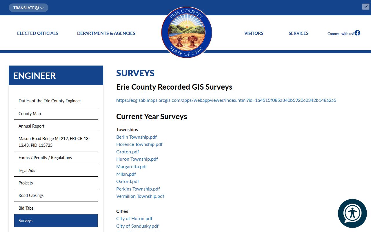
Save the precise survey or map title and date when reconciling an older Sandusky street reference with a current parcel. No authoritative citywide renumbering table or automatic former-to-current number conversion was found.
Sandusky Street Record Requests
A failed online search is not a final answer. The Recorder states that its homepage describes online records from 1987, while its FAQ describes online indexing and images from 1990, with older material added daily. For a document that is absent online, the Recorder accepts in-person, mail, and email copy requests. Include known parties, date, legal description, and recording reference. The office asks for book and page information, whether a full document is wanted, and a telephone contact for card payment. Copies not freely found online are stated as $2 per page.
The Recorder is at 247 Columbus Avenue, Suite 225, Sandusky, and is open Monday through Friday from 8 a.m. to 4 p.m. Its office does not perform the history search for the requester. For county records outside the Recorder's set, the Auditor's policy permits an oral or written request that identifies a record clearly enough to locate and review it; no specific form, identity, or statement of purpose is required. Inspection is available during normal hours, with the stated response framework under ORC 149.43.
Sandusky Street Records Limits
No official City or County source located for this research publishes a citywide street-by-street roster of people. A property owner, recorded party, permit applicant, or printed historical household entry has a different meaning from current occupancy. Driver information is restricted by federal and Ohio law, while online records may also contain redactions or protected addresses. Do not try to recreate a protected value or use one office's record as a way around another office's limit.
Lawful use. Sandusky street records support personal, historical, and civic research. Using information to stalk, harass, intimidate, or harm a person is prohibited under Ohio law.